01
Aerial Mapping
Structured aerial capture for site visualization, planning, documentation and project awareness.
Aerial Mapping & Imaging • North Texas
High-resolution aerial mapping, property documentation and visual media that turn a better view into clearer decisions.

Perspective into possibility.
Useful deliverables
Purpose-built aerial capture and visual documentation for properties, projects and commercial needs.
Structured aerial capture for site visualization, planning, documentation and project awareness.
High-resolution stitched aerial maps for visual reference, property records and site documentation.
Roof, exterior, acreage and property-condition imagery, including insurance-support documentation.
Building, roof, facility and site imagery for owners, contractors, property teams and insurance-support needs.
Repeatable aerial imagery that makes construction, improvements and site changes easy to compare over time.
High-resolution aerial photography and 4K video for properties, projects, presentations and marketing.
The StrataWing difference
We plan each flight around what you need to see, then organize the imagery and mapping into useful, client-ready deliverables.
Property & insurance support
StrataWing provides high-resolution aerial imagery to support property records, condition documentation, insurance needs and project communication — without presenting the work as a licensed inspection or survey.
Our process
Define the location, objective, airspace and deliverable.
Collect high-quality aerial imagery using a deliberate flight plan.
Organize imagery and produce maps or finished visual media when required.
Provide clear files ready to review, share and archive.
Portfolio
As StrataWing projects are completed, this will become a growing library of real mapping and documentation examples.
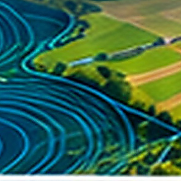
Clear aerial coverage for planning, awareness and visual reference.
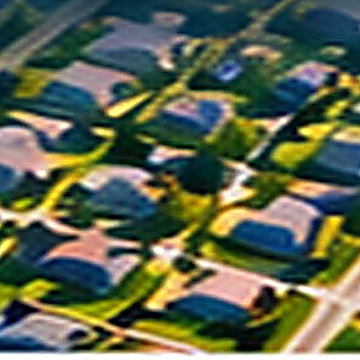
High-resolution imagery for property records, condition documentation and insurance support.
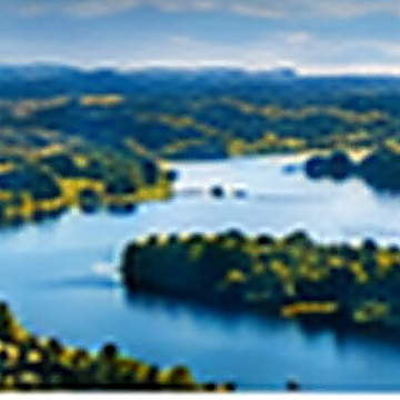
Professional aerial photo and video imagery for communication and marketing.
Service area
Based in Denton, StrataWing serves the greater Dallas–Fort Worth area and surrounding North Texas communities.
Let's work together
Tell us what you need to see from above. We’ll help define the appropriate capture and deliverable.
DroneInvoice quoting will be connected here once the public StrataWing link is ready.
DroneInvoice Link Coming Soon